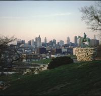
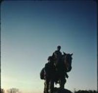
Pioneer Mother statue
Pioneer Mother statue in Penn Valley Park at sundown. The statue depicts a woman riding a horse and a man walking in front of a second horse. The sun is setting behind the statue.
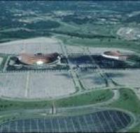
Truman Sports Complex
Aerial view of the Truman Sports Complex and surrounding area in Kansas City. Arrowhead Stadium is on the right and Kauffman Stadium is on the right. The stadiums are surrounded by large, empty...
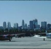
Two twin-prop planes
Two twin-prop planes at the downtown Kansas City airport. The planes are parked next to cars in front of a terminal building. Skyscrapers and downtown Kansas City are visible in the distance.
Union Station
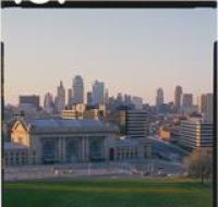
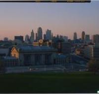
Union Station as seen from Penn Valley Park. The large train station is across the street from a hillside. There are columns at the entrance to the building three stories tall. There are skyscrapers...
Union Station
Union Station as seen from Penn Valley Park. The large train station is across the street from a hillside. There are columns at the entrance to the building three stories tall. There are skyscrapers...
Union Station
Union Station as seen from Penn Valley Park. The large train station is across the street from a hillside. There are columns at the entrance to the building three stories tall. There are skyscrapers...
View above Interstate 35
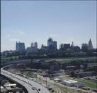
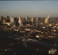
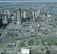
Aerial view of Kansas City from above Interstate 35 looking east. The interstate is curving to the left next to a series of railroad tracks. Industrial facilities are on the right as well. Skyscrapers...
View from Broadway Boulevard
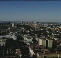
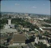
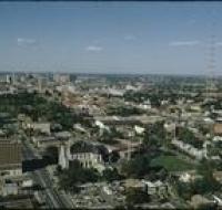
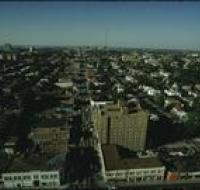
Aerial view of Kansas City from above Broadway Boulevard looking north. The headquarters for Veterans for Foreign Wars and Our Lady of Perpetual Help Parish are on the left along Broadway. Downtown...
View from Broadway Boulevard
Aerial view of Kansas City from above Broadway Boulevard looking north. The headquarters for Veterans for Foreign Wars and Our Lady of Perpetual Help Parish are on the left along Broadway. Downtown...
View from Broadway Boulevard
Aerial view of Kansas City from above Broadway Boulevard looking north. The headquarters for Veterans for Foreign Wars and Our Lady of Perpetual Help Parish are on the left along Broadway. A large...
View from Broadway Boulevard
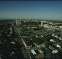
Aerial view of Kansas City from above Broadway Boulevard looking north. Houses are along the left side and foreground. Two large radio antennas are on the left and right side. Downtown Kansas City is...
View from Highway 35
Aerial view of Kansas City above Interstates 35 and 670 looking east. Skyscrapers, parking lots, and downtown Kansas City are visible across from the highway The sun is setting and casting large...
View from Highway 35
Aerial view of Kansas City above Interstates 35 and 670 looking east. Skyscrapers, parking lots, and downtown Kansas City are visible across from the highway The sun is setting and casting large...
View from Highway 71
Aerial view of Kansas City above highway 71 looking west. Skyscrapers, parking lots, and downtown Kansas City are visible across from highway 71. Warehouses and factories are on the other side of the...
View from Highway 71
Aerial view of Kansas City above highway 71 looking west. Skyscrapers, parking lots, and downtown Kansas City are visible across from highway 71. Warehouses and factories are on the other side of the...
View from Main Street
Aerial view of Kansas City from above Main Street looking north. The Hotel Netherlands is on the right side of the street along with several office buildings. Houses are on the far right and left. A...
View from Penn Valley
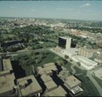
Aerial view of Kansas City from above Penn Valley. The One Park Place building is on the left and the Penn Tower is on the right. Penn Valley Park is between the buildings. Downtown Kansas City is...
View from Southwest Boulevard
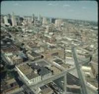
Aerial view of Kansas City above Southwest Boulevard looking northeast. Skyscrapers and downtown Kansas City are visible on the left. Dozens of warehouses and office buildings are spread throughout...
View from the Convention Center
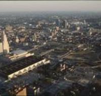
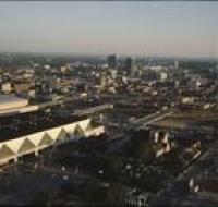
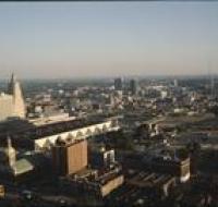
Aerial view of Kansas City above the Convention Center looking southeast. Interstate 670 is passing under several road bridges. The Convention center has a dark, flat roof. The Municipal Auditorium is...
View from the Convention Center
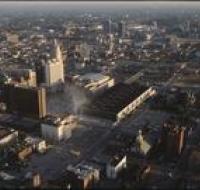
Aerial view of Kansas City looking southeast. Interstate 670 is passing under several road bridges and intersects with Interstate 35 on the right. The Convention Center, Municipal Auditorium, and...
View from the Convention Center
Aerial view of Kansas City looking southeast. Interstate 670 is passing under several road bridges and intersects with Interstate 35 on the right. The Convention Center, Municipal Auditorium, and...
View from the Convention Center
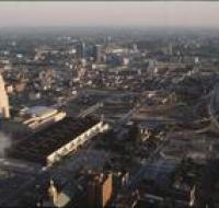
Aerial view of Kansas City looking southeast. Interstate 670 is passing under several road bridges and intersects with Interstate 35 on the right. The Convention Center, Municipal Auditorium, and...
View from the Convention Center
Aerial view of Kansas City above the Convention Center looking southeast. Interstate 670 is passing under several road bridges and intersects with Interstate 35 on the right. The Convention center has...
View from the Convention Center
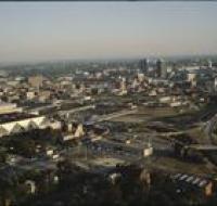
Aerial view of Kansas City above the Convention Center looking southeast. Interstate 670 is passing under several road bridges and intersects with Interstate 35 on the right. The Convention center has...
View from Westport neighborhood
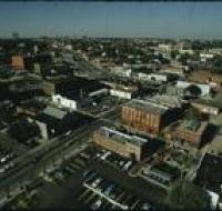
Aerial view of Kansas City from the Westport neighborhood looking north. Several parking lots are in the foreground next to warehouses and office buildings. Skyscrapers and downtown Kansas City are...

