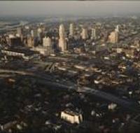
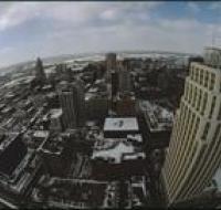
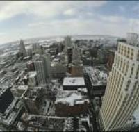
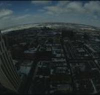
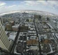
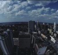
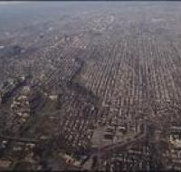
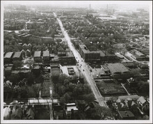
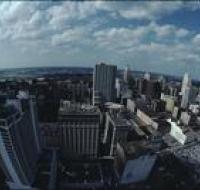
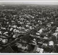
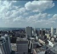
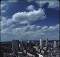
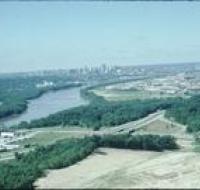
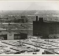
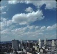
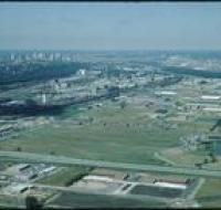
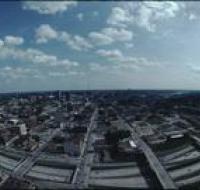
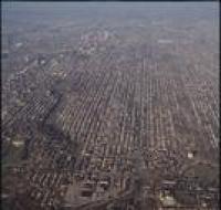
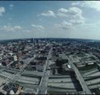
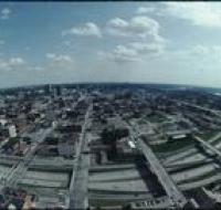
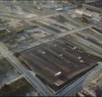
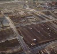
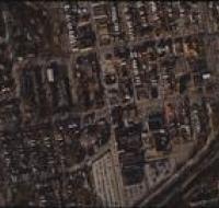
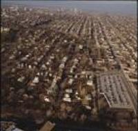
Aerial view of Kansas City
Image
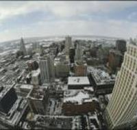
Aerial view of Kansas City looking northeast from a downtown skyscraper. Several parking lots are in front. Cars are driving along the roads. A white...
Date Published
1985
Member of