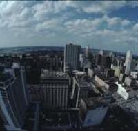
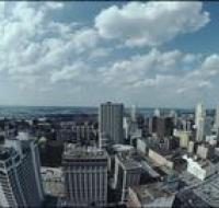
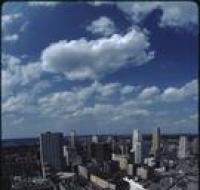
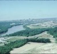
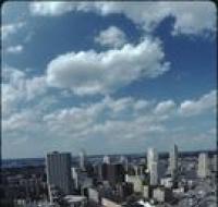
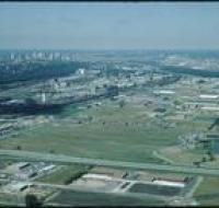
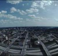
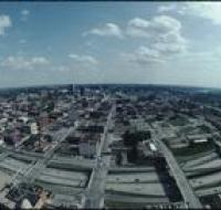
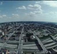
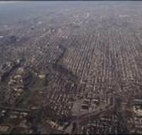
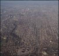
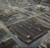
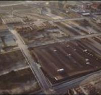
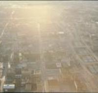
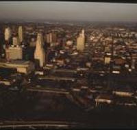
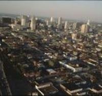
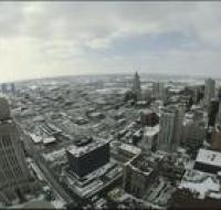
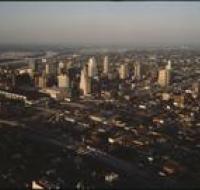
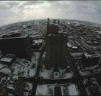
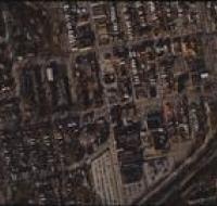
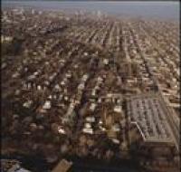
Aerial view of Kansas City
Image
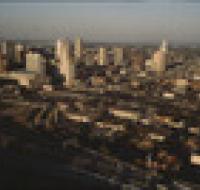
Aerial view of Kansas City above Interstate 35 looking northeast. Skyscrapers, parking lots, and downtown Kansas City are visible in the center. There...
Date Published
1984
Member of