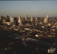
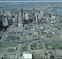
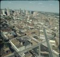
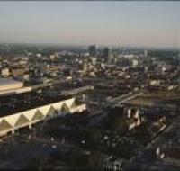
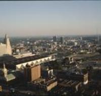
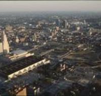
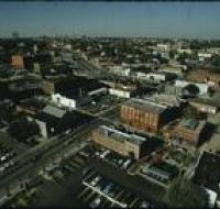
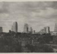
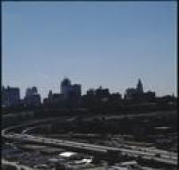
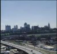
View from Highway 35
Image

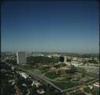
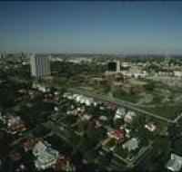
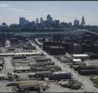
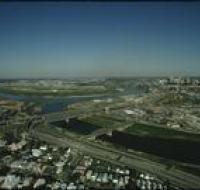
Aerial view of Kansas City above Interstates 35 and 670 looking east. Skyscrapers, parking lots, and downtown Kansas City are visible across from the...
Date Published
1984
Member of