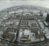
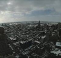
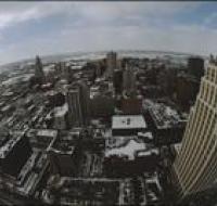
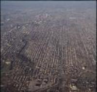
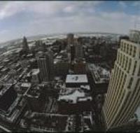
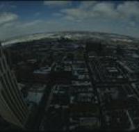
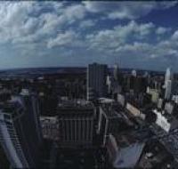
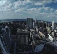
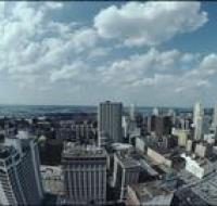
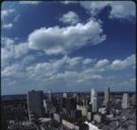
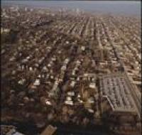
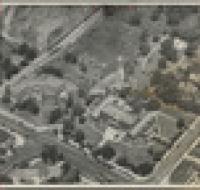
Aerial view of Kansas City
Image
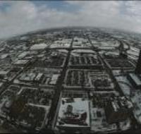
Aerial view of Kansas City looking south from atop a building in downtown. Several large office buildings are scattered between large parking lots...
Date Published
1985
Member of