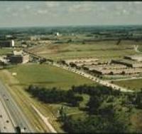
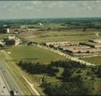
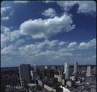
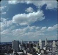
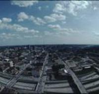
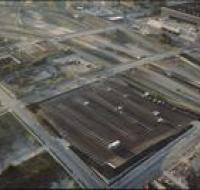
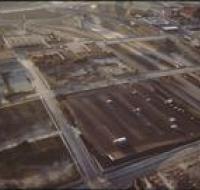
Aerial view of highway construction
Image
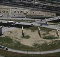
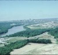
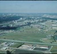
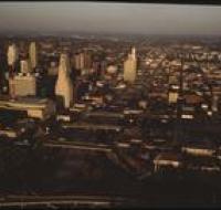
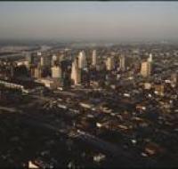
Aerial view of highway construction near Kansas City. A railway yard is above the highway. There are trains parked on all the tracks. There are...
Date Published
1986
Member of