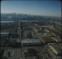
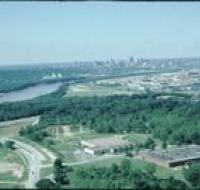
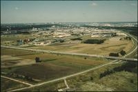
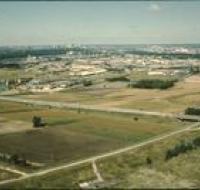
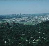
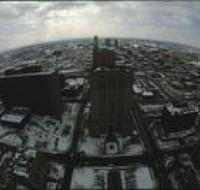
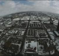
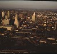
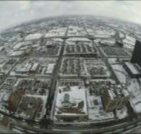
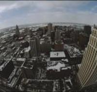
Aerial view above Wheeler Airport
Image
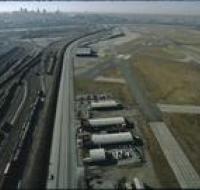
Aerial view above Wheeler Airport in Kansas City, Missouri. Two airport runways are on the right next to several terminal buildings. Trains are moving...
Date Published
February-1974
Member of