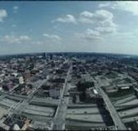
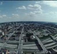
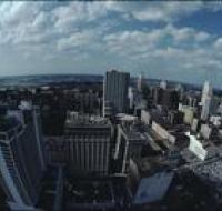
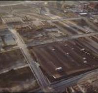
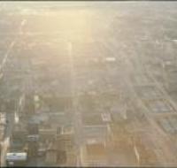
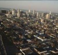
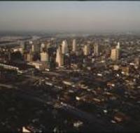
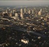
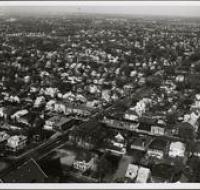
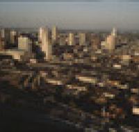
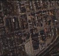
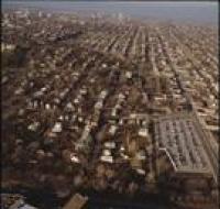
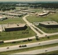
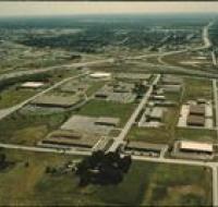
Aerial view of Kansas City
Image
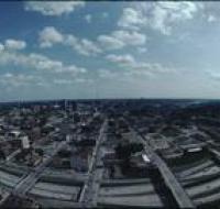
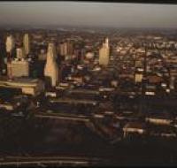
Aerial view of Kansas City looking south from the Power & Light district. Interstate 670 passes underneath several road bridges. Office buildings and...
Date Published
June-1983
Member of