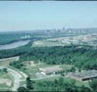
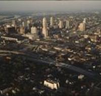
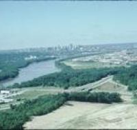
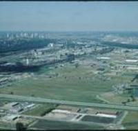
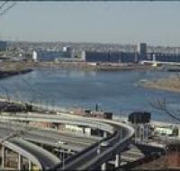
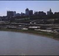
Aerial view of downtown
Image
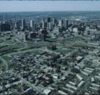
Aerial view of downtown Kansas City looking southwest. There are apartment buildings and warehouses on the other side of a highway from skyscrapers...
Date Published
March-1986
Member of