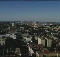
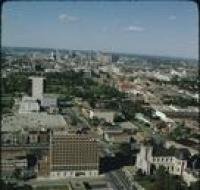
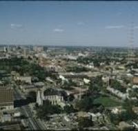
Aerial view of downtown Kansas City
Image

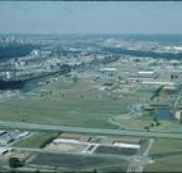
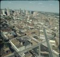
Aerial view of downtown Kansas City near the intersection of Interstate 670 and Highway 71 looking northwest. Interstate 670 passes below road bridges...
Date Published
March-1986
Member of