
Union Station
Image
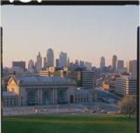
Union Station as seen from Penn Valley Park. The large train station is across the street from a hillside. There are columns at the entrance to the...
Date Published
1987
Member of
Union Station as seen from Penn Valley Park. The large train station is across the street from a hillside. There are columns at the entrance to the...
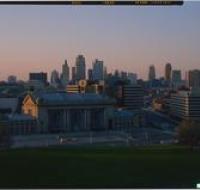
Union Station as seen from Penn Valley Park. The large train station is across the street from a hillside. There are columns at the entrance to the...
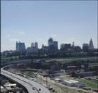
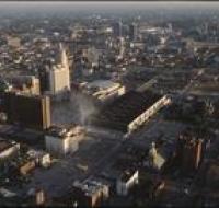
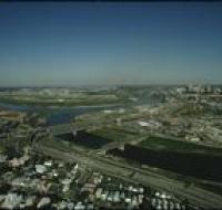
Aerial view of Kansas City from above Interstate 35 looking east. The interstate is curving to the left next to a series of railroad tracks...

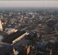
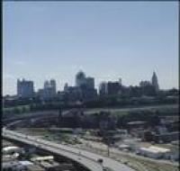
Aerial view of Kansas City above Interstates 35 and 670 looking east. Skyscrapers, parking lots, and downtown Kansas City are visible across from the...
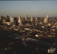
Aerial view of Kansas City above Interstates 35 and 670 looking east. Skyscrapers, parking lots, and downtown Kansas City are visible across from the...
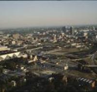
Aerial view of Kansas City looking southeast. Interstate 670 is passing under several road bridges and intersects with Interstate 35 on the right. The...
Aerial view of Kansas City looking southeast. Interstate 670 is passing under several road bridges and intersects with Interstate 35 on the right. The...
Aerial view of Kansas City looking southeast. Interstate 670 is passing under several road bridges and intersects with Interstate 35 on the right. The...
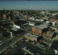
Aerial view of Kansas City from the Westport neighborhood looking north. Several parking lots are in the foreground next to warehouses and office...
View looking southwest from the city manager's office showing various buildings including the Power and Light building and Kansas River off in the...
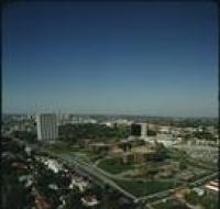
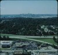
Aerial view of the BMA building, also known as One Park Place, and Penn Valley Community College in the midtown Kansas City area. There are houses...
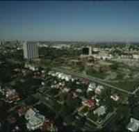
Aerial view of the BMA building, also known as One Park Place, and Penn Valley Community College in the midtown Kansas City area. There are houses...
Aerial view of the Kansas City skyline and the West Bottoms area. Factories and warehouses are on both sides of Main Street. Skyscrapers and downtown...
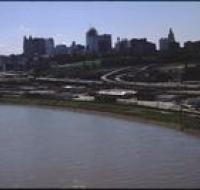
Aerial view of the West Bottoms area of Kansas City where the Kansas River and Missouri Rivers converge. Interstates 70 and 35 cross the Kansas River...
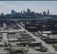
Aerial view of warehouses and parking lots in front of Kansas City. Skyscrapers and downtown Kansas City are visible in the distance Cars are parked...
Aerial view looking southeast over Interstate 70 in the West Bottoms area. Skyscrapers and downtown Kansas City are visible in the distance. There are...
Aerial view looking east over Interstate 70 in the West Bottoms area. Skyscrapers and downtown Kansas City are visible in the distance. There are...
Aerial view looking east over Interstate 70 in the West Bottoms area. Skyscrapers and downtown Kansas City are visible in the distance. There are...
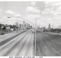
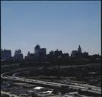
Downtown Forth Worth, Texas as seen from the West Freeway looking east from the Ballinger Street overpass.