Aerial view of an industrial district
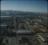
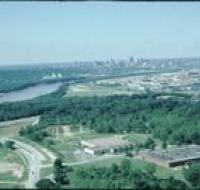
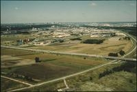
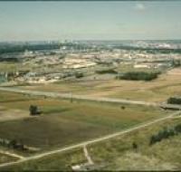
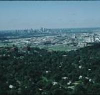
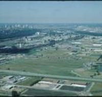
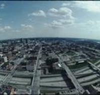
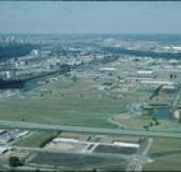
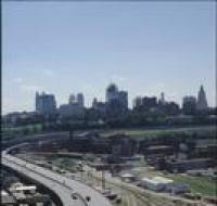
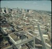
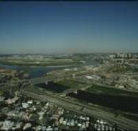
Aerial view of an industrial district north of downtown Kansas City. Several road bridges are crossing the Missouri River. Skyscrapers and downtown...
Aerial view of downtown Kansas City looking southwest. The Missouri River passes in front of downtown. Skyscrapers are visible in the distance...
Aerial view of fields and an industrial park near Kansas City. Skyscrapers and downtown Kansas City are visible on the skyline. A highway is passing...
Aerial view of an industrial area near downtown Kansas City. There are houses in between trees at the bottom of the photo. Warehouses and railroad...
Aerial view of Kansas City from the north. There are open fields and warehouses in the foreground. The Missouri River and downtown Kansas City are in...
Aerial view of Kansas City looking south from the Power & Light district. Interstate 670 passes underneath several road bridges. Office buildings and...
Aerial view of office parks and warehouses near Kansas City. A highway passes along the bottom. Several sets of warehouses are in the center alongside...
Aerial view of Kansas City from above Interstate 35 looking east. The interstate is curving to the left next to a series of railroad tracks...
Aerial view of Kansas City above Southwest Boulevard looking northeast. Skyscrapers and downtown Kansas City are visible on the left. Dozens of...
Aerial view of the West Bottoms area of Kansas City where the Kansas River and Missouri Rivers converge. Interstates 70 and 35 cross the Kansas River...