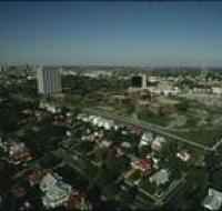
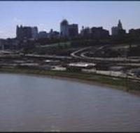
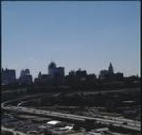
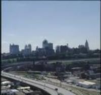
View of Penn Valley area
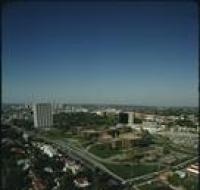
Aerial view of the BMA building, also known as One Park Place, and Penn Valley Community College in the midtown Kansas City area. There are houses...
Aerial view of the Kansas City skyline and the West Bottoms area. Factories and warehouses are on both sides of Main Street. Skyscrapers and downtown...
Aerial view of the West Bottoms area of Kansas City where the Kansas River and Missouri Rivers converge. Interstates 70 and 35 cross the Kansas River...
Aerial view of warehouses and parking lots in front of Kansas City. Skyscrapers and downtown Kansas City are visible in the distance Cars are parked...
Aerial view looking southeast over the Missouri River in the West Bottoms area. Skyscrapers and downtown Kansas City are visible in the distance...
Aerial view looking southeast over Interstate 70 in the West Bottoms area. Skyscrapers and downtown Kansas City are visible in the distance. There are...
Aerial view looking east over Interstate 70 in the West Bottoms area. Skyscrapers and downtown Kansas City are visible in the distance. There are...