Aerial view of a suburban area
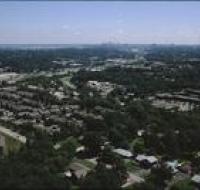
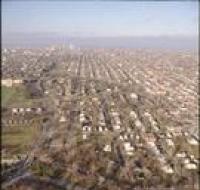
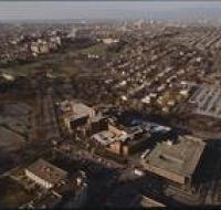
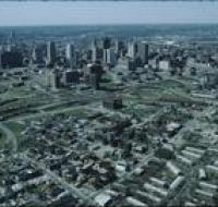
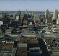
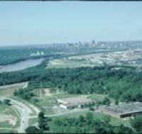
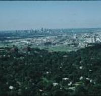
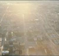
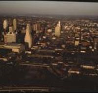
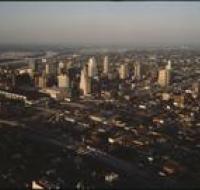
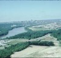
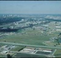
Aerial view of a suburban area near Kansas City. Houses are along several grids of roads. Downtown Kansas City is in the distance along the skyline.
Aerial view of Rockhill Road and Volker Boulevard in Kansas City. The Medical Menorah Center is on the right between both roads. Parking lots for the...
Aerial view of the Brush Creek area in Kansas City. The Menorah Medical Center is in the bottom center between Rockhill Road and Volker Boulevard...
Aerial view of downtown Kansas City looking southwest. There are apartment buildings and warehouses on the other side of a highway from skyscrapers...
Aerial view of downtown Kansas City looking north above Interstate 670. The highway passes underneath several road bridges. There are over a dozen...
Aerial view of downtown Kansas City looking southwest. The Missouri River passes in front of downtown. Skyscrapers are visible in the distance...
Aerial view of downtown Kansas City. Skyscrapers are surrounded by dozens of blocks with retail and office buildings. Interstate 670 passes in front...
Aerial view of fields and an industrial park near Kansas City. Skyscrapers and downtown Kansas City are visible on the skyline. A highway is passing...
Aerial view of an industrial area near downtown Kansas City. There are houses in between trees at the bottom of the photo. Warehouses and railroad...
Aerial view of industrial facilities through a helicopter window. Factories and warehouses are in the foreground. Skyscrapers and downtown Kansas City...
Aerial view of Kansas City above Interstate 670 looking west. The sun is setting and casting a glare on the photo. Skyscrapers and downtown Kansas...
Aerial view of Kansas City above the intersection of Interstates 35 and 670 looking east. Downtown is on the left, including the Convention Center...
Aerial view of Kansas City above Interstate 35 looking northeast. Skyscrapers, parking lots, and downtown Kansas City are visible in the center. There...
Aerial view of Kansas City looking northeast toward downtown. Interstate 35 is passing north over Interstate 670. The Missouri River is visible in the...
Aerial view of Kansas City above Interstates 35 and 670 looking northeast. Skyscrapers, parking lots, and downtown Kansas City are visible across from...
Aerial view of Kansas City above land under development looking south. The Missouri River is passing under a small bridge on the left. Downtown Kansas...
Aerial view of Kansas City from the north. There are open fields and warehouses in the foreground. The Missouri River and downtown Kansas City are in...
Aerial view of Kansas City looking south, likely from City Hall building. The Bolling Federal building is on the left. The Jackson County Courthouse...
Aerial view of Kansas City looking south from atop a building in downtown. Several large office buildings are scattered between large parking lots...
Aerial view of Kansas City looking south, likely from City Hall building. The Jackson County Courthouse is on the left. Dozens of other skyscrapers...