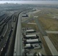
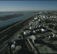
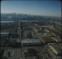
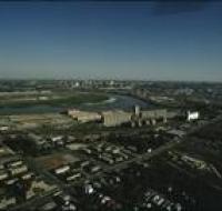
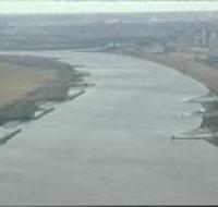
Aerial view above Wheeler Airport
Image

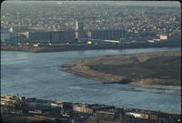
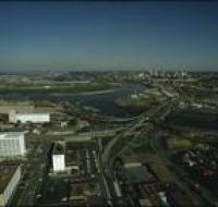
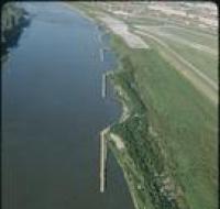
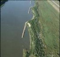
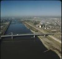
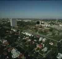
Aerial view above Wheeler Airport in Kansas City, Missouri, overlooking the confluence of the Missouri and Kansas Rivers. A road bridge is crossing...
Date Published
May-1975
Member of