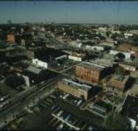
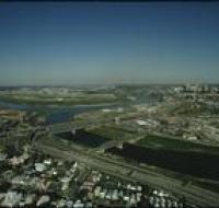
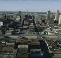
Aerial view of downtown
Image
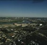
Aerial view of downtown Kansas City looking north above Interstate 670. The highway passes underneath several road bridges. There are over a dozen...
Date Published
September-1974
Member of